

Descrizione
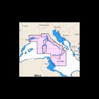
PLATINUM+ MAR TIRRENO E MEDITERRANE MAR TIRRENO E MEDITERRANEO CENTRALE
Display real-time position, direction, speed and track. Bathymetrics, navigation aids with Xplain technology, port services (gas stations, mooring, shipyards etc. With phone numbers where available), tides and currents.Verify that the instrument is capable of reading MSD-SD memory media greater than 2 GB in capacity.
Cartografia