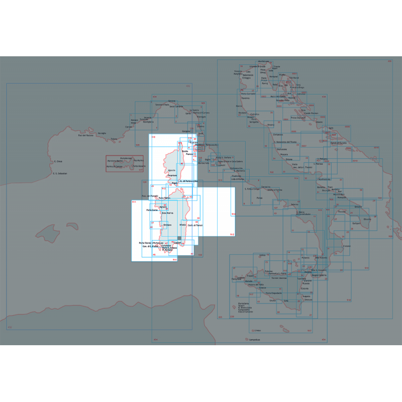
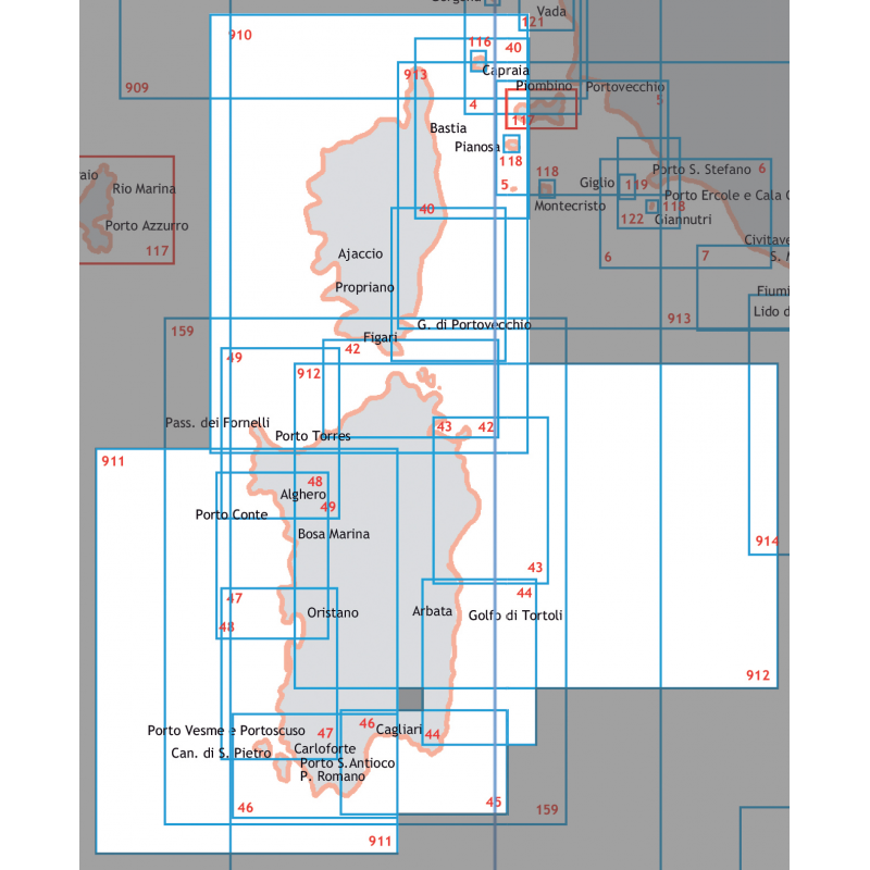
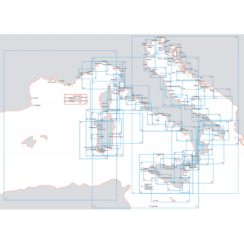

Descrizione
SCALA 1:250.000 dim.cm.116×83
Carta nautica dellIstituto Idrografico della Marina, in SCALA 1:250.000, stampata su foglio di dimensioni 116 x 83 cm
DA CAPO S.ELIA A CAPO BELLAVISTA FROM CAPO S.ELIA TO CAPO BELLAVISTA
Nautic Chart of Istituto Idrografico della Marina, with map scale 1:250,000, printed on paper size 116 x 83 cm
Carte Nautiche e Portolani DA CAPO S.ELIA A CAPO BELLAVISTA CORSICA AND SARDINIA
Quantità minima di vendita o multipli: unità