Descrizione
SCALA 1:250.000 dim.cm.116×83
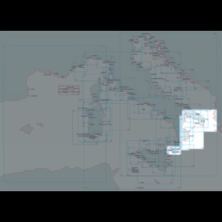
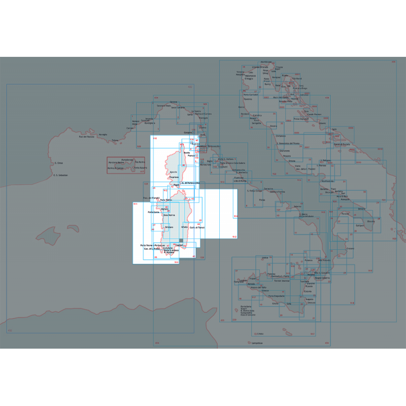
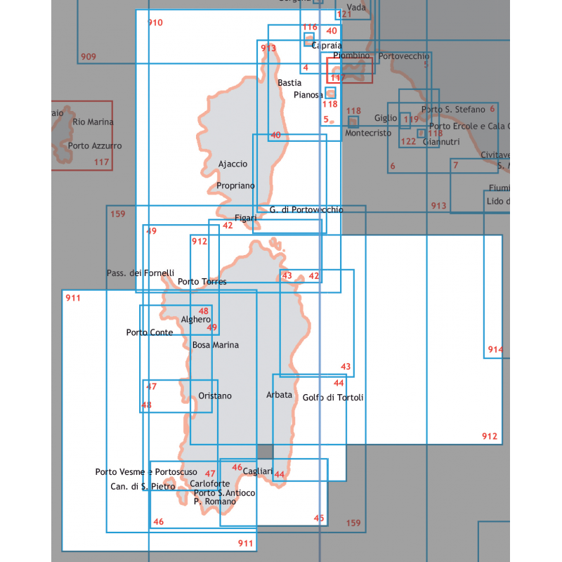
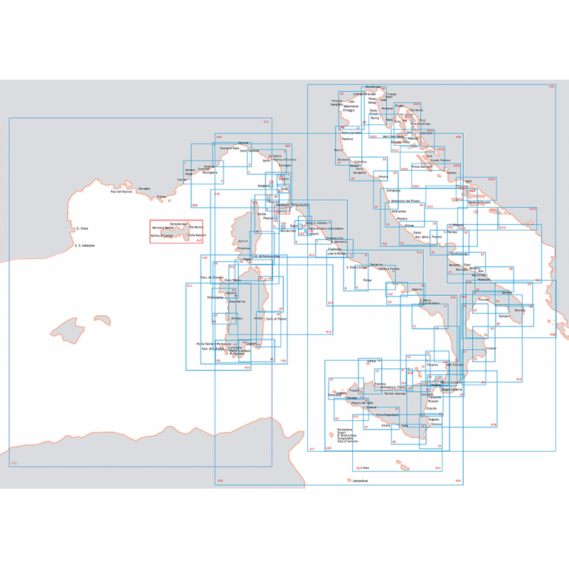
DA CAPO S.ELIA A CAPO BELLAVISTA FROM CAPO S.ELIA TO CAPO BELLAVISTA
Nautic Chart of Istituto Idrografico della Marina, with map scale 1:250,000, printed on paper size 116 x 83 cm
Carte Nautiche e Portolani
48,05 €
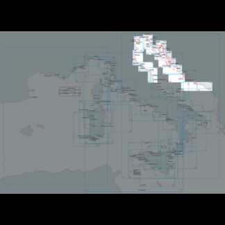
DA CAPO S.ELIA A CAPO BELLAVISTA
1 disponibili
SCALA 1:250.000 dim.cm.116×83
DA CAPO S.ELIA A CAPO BELLAVISTA FROM CAPO S.ELIA TO CAPO BELLAVISTA
Nautic Chart of Istituto Idrografico della Marina, with map scale 1:250,000, printed on paper size 116 x 83 cm
Carte Nautiche e Portolani
| Peso | 0,126 kg |
|---|---|
| Dimensioni | 1137,000 × 750,000 × 1,000 mm |